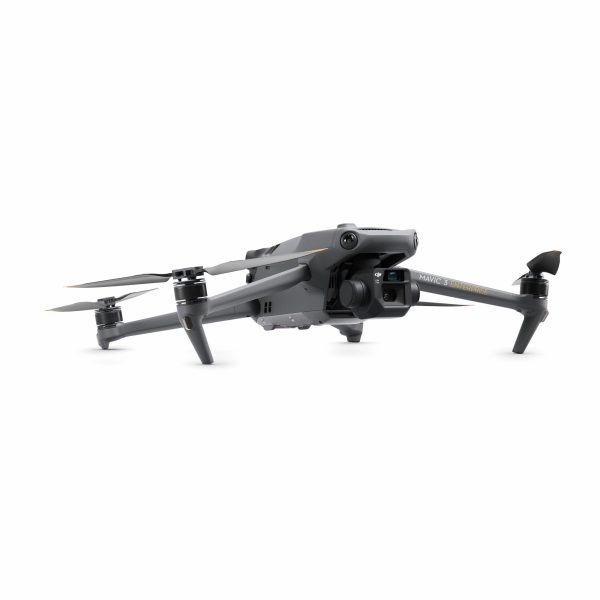
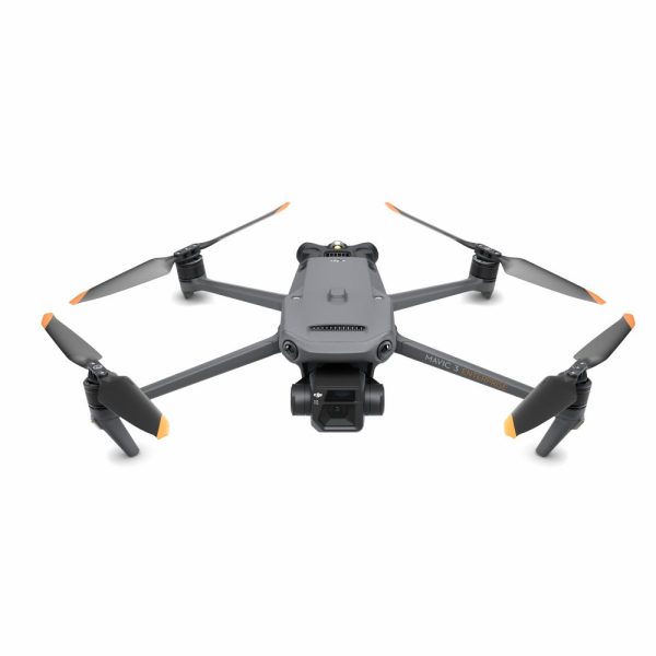
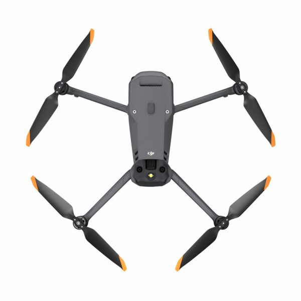
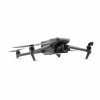
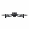
DJI Mavic 3 Enterprise
The Mavic 3 Enterprise defines industry standards for small commercial drones. With a mechanical shutter, 56x zoom camera and RTK module for centimeter accuracy, the Mavic 3E takes mapping and mission efficiency to new heights.
Frequently bought together
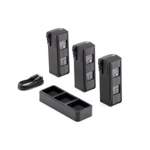
DJI Mavic 3 Enterprise Series Battery Kit
The DJI Mavic 3 Enterprise Series Battery Kit includes three Intelligent Flight Batteries and one DJI Mavic 3 Charging Station (100W) to meet the needs when working for extended periods of time.
View moreDescription
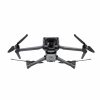
DJI Mavic 3 Enterprise
Your Everyday Commercial Drone

The Mavic 3 Enterprise Series redefines industry standards for small commercial drones. With a mechanical shutter, a 56× zoom camera, and an RTK module for centimeter-level precision, the Mavic 3E brings mapping and mission efficiency to new heights. A thermal version is available for firefighting, search and rescue, inspection, and night operations.
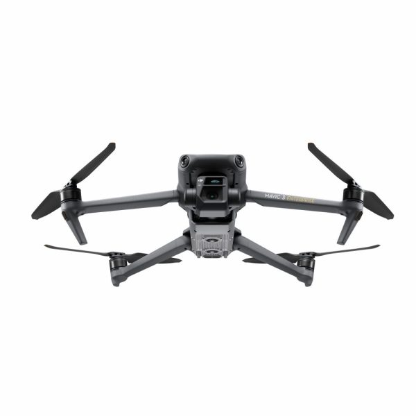
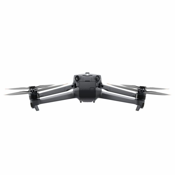
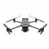
Compact and Portable

Streamlined and compact, Mavic 3 Enterprise Series can be carried in one hand and deployed at a moment’s notice. Perfect for beginner and veteran pilots alike, it’s built to perform on lengthy missions.
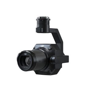
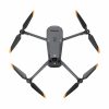
DJI Mavic 3E

Wide
4/3 CMOS, 20MP, Mechanical Shutter
Tele
Equivalent Focal Length: 162mm, 12MP, 56× Hybrid Zoom
Improved Low-Light Performance
Mavic 3E’s Wide camera has large 3.3μm pixels that, together with intelligent low-light mode, offer significantly improved performance in dim conditions.
Batteries Optimized For Endurance

45-min flight durations let you cover more ground each mission, for surveying of up to 2 square kilometers in a single flight.
Next-Generation Image Transmission
Quad-antenna O3 Enterprise Transmission enables more stable connections in a wide variety of complex environments.
Omnidirectional Sensing for Safe Flying

Real-Time Terrain Follow
Automatically adjust altitude when mapping areas with variations in elevation, all without needing to import external elevation data thanks to Mavic 3E’s omnidirectional sensing.
Smart Oblique Capture

Elevate the efficiency of your oblique photography mission with Smart Oblique Capture. During flight, the gimbal automatically rotates in three directions: front, middle, and back. Two routes can collect all photos at the angles needed for high-precision 3D modeling.
Corridor Mission Planning
Create automated flight missions of highways, rivers, oil pipelines, and more with Corridor Mission Planning. Simply draw a line on the map and it divides the area into mappable segments for straightforward surveying.
Aircraft
Wide Camera
Tele Camera
Gimbal
Sensing
Video Transmission
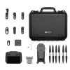
DJI RC Pro Enterprise
Battery
Charger
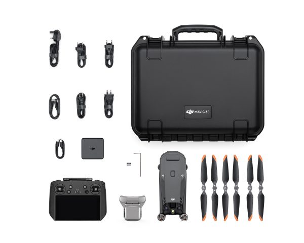
DJI Mavic 3E
Q-ty: 1
Intelligent flight battery
Q-ty: 1
microSD card
Q-ty: 1
Remote controller
Q-ty: 1
Charger
Q-ty: 1
Power cable
Q-ty: 1
USB-C cable
Q-ty: 1
USB-C to USB-C cable
Q-ty: 1
Carrying case
Q-ty: 1
Screwdriver
Q-ty: 1
Manuals
Q-ty: 1